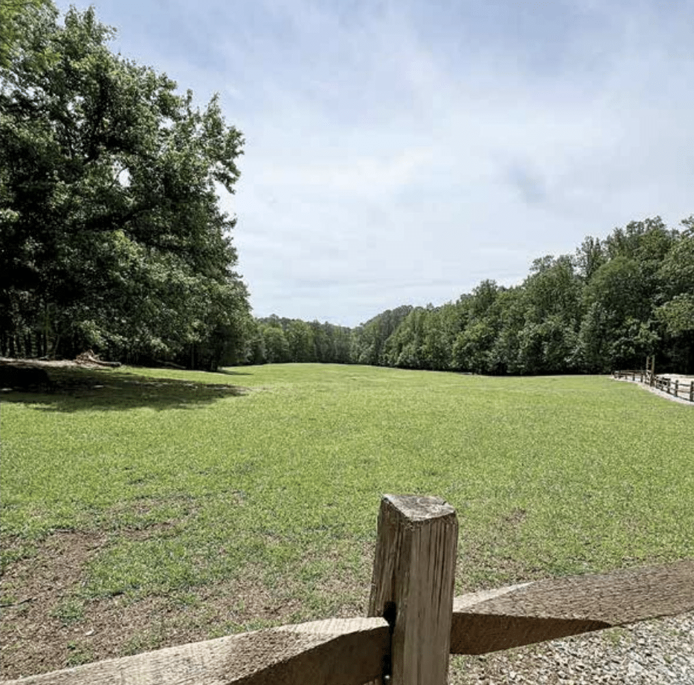
Viewing and accessing the river, as well as trail options, dominate committee discussion
The fourth meeting of the Simpsonwood Park Citizen Steering Committee on April 15, focused mainly on trail design and community feedback. A common concern was access to the Chattahoochee River.
“That trail used to go to the Chattahoochee, now it’s been blocked. And so the question is, what’s going to happen with that later on?” asked Carlos Perez, president and founder of Perez Planning + Design, who has contracted with the county on the Simpsonwood Park project.
Use of GIS (Geographic Information Systems) mapping, a technology that combines spatial data (location data) with attribute data (descriptive information) to create interactive maps and analyze geographic information, has allowed the county to devise maps that show where trails are now located and will perhaps be located within the masterplan.
“That entire corridor should be finished this summer,” said Glenn Boorman, Gwinnett County Parks deputy director, “when they finish up with the sewer project. All [of] that is all temporary. We believe the trails are going to get re-established and rehabilitated.”
Sewer upgrades along the river
Gwinnett County is in the midst of undertaking sewer upsizing work along the Chattahoochee River, specifically the Wolf Creek Interceptor, between Simpsonwood Park and Jones Bridge Park. This project involves upgrading approximately two miles of 20-inch diameter gravity sewer to 36-inch diameter.
The project is expected to take 18–24 months to complete and is part of a larger effort to improve sewer capacity and comply with Chattahoochee River Corridor regulations.
“When we go into the final design process, we’ll have a thorough topographical survey done,” said Boorman. “We won’t be using GIS, so we’ll have a much better grasp of the actual topography. But don’t get me wrong, GIS is pretty darn accurate.”
Simpsonwood Park trail plans
Even though Jay Exum, a wildlife ecologist consulting on the project, wasn’t at the meeting, his input is important to determining where the trails will go and what materials will be used.
“All those trails will be field located. They won’t just be done on AutoCAD or something,” said Boorman. “Everything will be walked because the other thing that will be identified is where are those trees?”
AutoCAD is a computer-aided design (CAD) software that is used for precise 2D and 3D drafting, design and modeling with solids, surfaces, mesh objects, documentation features and more.
With the talk of trails, the battle for pervious vs. non-pervious trails continued.
Although it appeared at first that an overwhelming majority of committee members, residents and stakeholders were completely against paved trails, it appears more and more people are standing up for access for strollers and wheelchairs.
Several committee members who said they regularly use the park expressed concerns that removal of all paved trails will make it impossible for them to utilize the park.
“It’s already a workout pushing a stroller up some of those inclines,” said CSC member Vanessa Graves. Several other committee members and members of the audience nodded.
What’s next?
The committee will now look over the next phase of plans, with the final meeting being a time to come to a consensus on what to base the final plans on. From there, a design will be made and presented to the county commission.
The next meeting is scheduled for June 17.